Vessel Tracking in SupaMaritime: Agent Only, for Port Agencies
SupaMaritime has vessel tracking in one place: Agent Pro and Enterprise, for port agencies. AIS positions on port calls, port radar, vessel tracker and route planner.

Who this is for
- You run a port agency and want to see where the vessels you handle are, next to the port call itself
- You watch the vessels approaching or leaving your port on a public AIS website today
- You want to look up a vessel’s particulars by IMO number without leaving your port call software
- You want to know, before a demo, exactly which SupaMaritime modules include AIS tracking and which do not
“Vessel tracking software” covers a wide range: public AIS websites, AIS data feeds sold by API, and operational tools that show AIS positions next to the work they are used for. This page explains where SupaMaritime fits, and where it does not.
In SupaMaritime, vessel tracking is part of one module only: Agent, the app for port agencies, on the Pro and Enterprise plans. There it shows AIS vessel positions on port calls, a port radar of vessels around a port, a vessel tracker with a watchlist, a route planner for sea routes between ports, and vessel particulars looked up by IMO number. The AIS data comes from Datalastic, a third-party AIS data provider.
Ferry and Merchant, the modules for ferry operators and cargo fleets, do not include AIS tracking. None of the modules does fleet performance monitoring, sensor or telemetry data, fuel monitoring, weather routing or ETA prediction.
Where the day breaks down
Positions and port calls live in different tabs
The agent checks a public AIS website in one tab and the port call in another, copying positions and ETAs across by hand.
The broadcast ETA is only what the crew entered
The ETA and destination in an AIS message are typed in on board. They are useful, but they are not a prediction and can be out of date.
Vessel particulars are looked up again for every call
Flag, type, tonnage and dimensions are searched for on the web each time a vessel is nominated, then re-typed into the file.
Watching what arrives at your port is manual
Seeing which vessels are near the port, and which have arrived or left, means checking an AIS map at intervals.
“Tracking” often means performance monitoring
Some products sold as vessel tracking are really fuel and performance tools fed by onboard sensors. That is a different need, and worth separating before you compare.
Sea distances are estimated elsewhere
Distance and sailing time between two ports are worked out in a separate tool or from memory when preparing a call.
Built around the workflow, not bolted on top
Agent Pro and Enterprise put AIS data next to the port call: the vessel’s position on the call, a port radar around your port, a vessel tracker with a watchlist, a route planner and vessel lookup by IMO. It is a tool for port agencies. Ferry and Merchant do not include AIS tracking.
AIS positions on port calls
The vessel’s last AIS position is shown on the port call it belongs to, so the agent sees where it is without leaving the file.
Port radar
Vessels within a radius you set around a port, in nautical miles, on a map and in a table, with a list of arrival and departure events.
Vessel tracker with watchlist
Search for vessels, add them to a watchlist and see their AIS positions on a map, with a detail panel per vessel.
Route planner
Sea routes between ports with the distance and the estimated sailing time at different speeds.
Vessel lookup by IMO and port visit history
Vessel particulars looked up by IMO number, plus the port visit history available from the AIS provider.
Available on Agent Pro and Enterprise
The AIS features are not on Agent Starter, and Agent has no free plan. Plans are quoted on request.
Illustrative example: a port agency in a mid-size port
A hypothetical agency handles port calls for several principals in one port. This example is illustrative and does not describe a real customer.
Before SupaMaritime
After SupaMaritime
An operator checks a public AIS website several times a day to see where nominated vessels are.
Port calls are managed in Agent, with the vessel’s AIS position shown on each call.
ETAs from the AIS message are copied by hand into a spreadsheet of upcoming calls.
The port radar shows vessels within the radius the agency has set, with arrival and departure events.
Vessel particulars are searched for on the web for every new nomination.
Vessels of interest sit on the vessel tracker watchlist, with their positions on a map.
Distances between the previous port and this one are worked out in a separate tool.
Vessel particulars are looked up by IMO number instead of searched for on the web.
Facts you can check
Ferry, Merchant, Guild and Agent Starter do not include AIS features.
Vessel particulars fetched by IMO number.
Third-party AIS data provider behind positions, radar and tracker.
Agent in English, Italian, Spanish, French and German.
Vessel tracking in SupaMaritime is part of Agent
SupaMaritime is a set of separate modules, each its own app. Vessel tracking exists in one of them: Agent, the port call and disbursement app for port agencies, on the Pro and Enterprise plans. Agent Starter includes everything except these AIS features.
Ferry (for ferry operators) and Merchant (for cargo fleets) cover planned maintenance, onboard inventory, crew certificates, hours of rest and compliance records. They do not include AIS tracking. If you run vessels and need to see them on a map, a public AIS service or a dedicated tracking product is the right tool today.
Guild, the module for maritime associations, has no tracking features either.

What AIS data can and cannot tell you
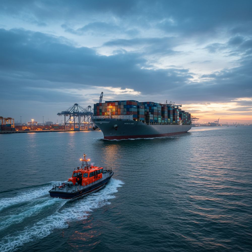
AIS (Automatic Identification System) messages carry a vessel’s identity, position, course and speed, plus voyage fields such as destination and ETA that the crew enters on board. Positions depend on reception: coverage from shore stations and satellites varies by area, and some vessels switch AIS off or are not required to carry it.
That means the ETA in an AIS message is what was typed in on board, not a forecast. It can be accurate, early, late or simply not updated.
Agent shows the AIS data it receives from its provider. It does not predict ETAs, combine AIS with weather or port congestion, or give confidence ranges. Treat positions as a helpful signal next to the port call, and confirm arrival times with the master or the principal as you do today.
Port radar for agencies
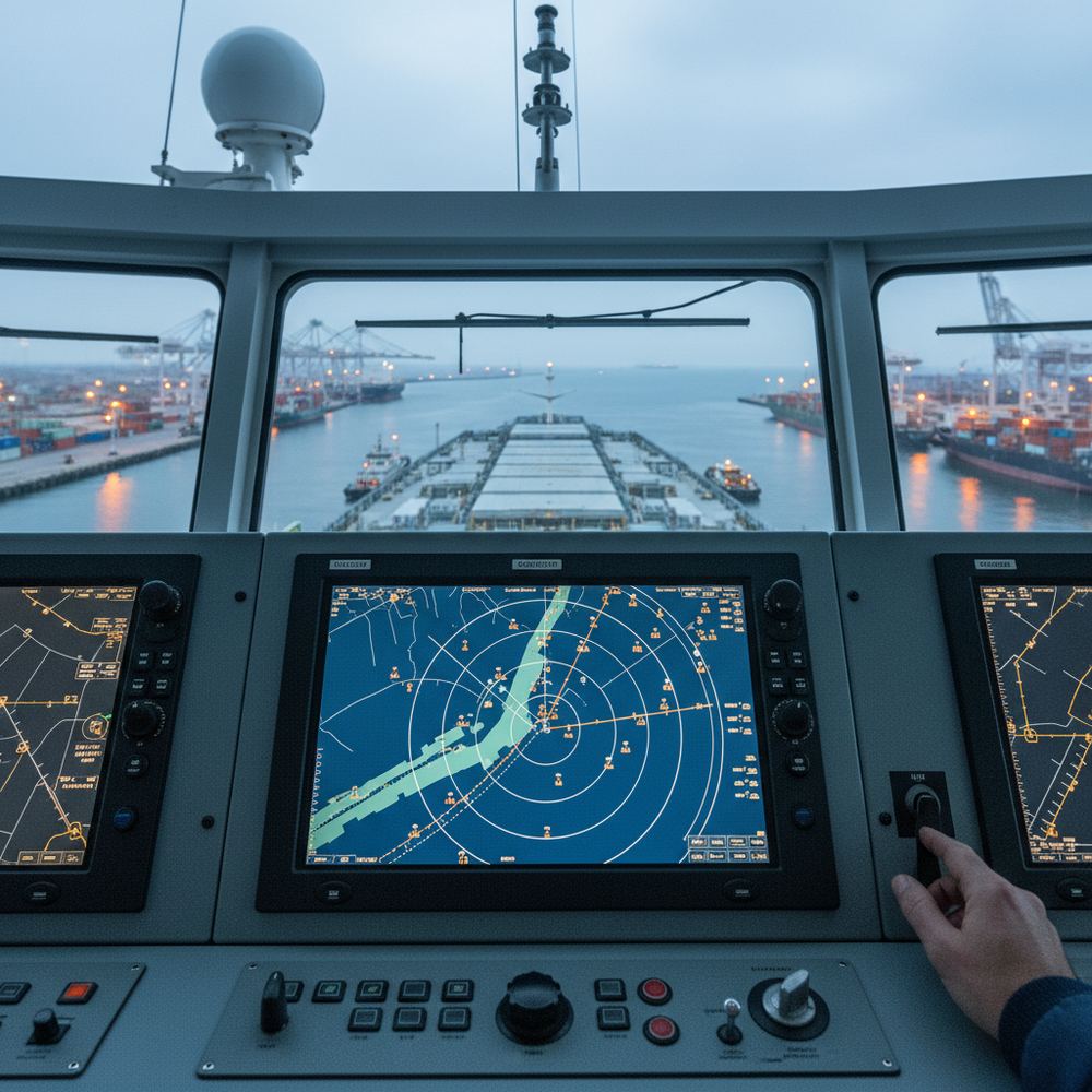
The port radar in Agent shows vessels within a radius you set around a port, measured in nautical miles. They appear on a map and in a table, and a separate list shows arrival and departure events.
Agencies use it to see what is near the port and what has just arrived or left, without switching to another website. Vessels that matter can be added to the vessel tracker watchlist.
The radar shows AIS data; it does not match vessels to shipowner contacts, send outreach, or tell you who the principal is. Commercial follow-up stays with your team.
What SupaMaritime’s tracking does not do
No fleet performance monitoring, no onboard sensor or telemetry data, no fuel or emissions monitoring, no weather routing and no ETA prediction. There is no cargo-aware or compliance-aware alerting tied to positions.
There is no public API for Agent, so positions and port radar data cannot be pulled into another system programmatically. Your port call data can be exported as CSV, JSON or XLSX at any time.
AIS tracking is not included in Ferry or Merchant. If your need is tracking your own fleet at sea, or monitoring performance and fuel, look at dedicated tracking or performance products rather than SupaMaritime.
How this compares to the alternatives
Public AIS tracking website and app, with paid plans and data services for businesses.
Public AIS tracking website and app, with paid plans and an API for businesses.
Provider of AIS data, including satellite AIS, delivered to businesses through APIs.
AIS data API provider for vessel positions and particulars; it supplies the AIS data used in SupaMaritime Agent.
Vessel tracking and shipping tools for chartering and operations professionals, with a free app.
Frequently asked questions
What is vessel tracking software?
Does SupaMaritime include vessel tracking?
Do Ferry and Merchant track vessels on AIS?
Does SupaMaritime do fleet performance monitoring or use sensor data?
How does the port radar work?
How current are the positions?
Is there an API to pull positions into my own systems?
How much does vessel tracking in SupaMaritime cost?
How can I track a vessel for free?
See it in your workflow, not a generic demo
We'll walk through vessel tracking software buyers.
Vessel tracking is part of Agent Pro and Enterprise, quoted on request; Agent has no free plan. Ferry and Merchant (free plan; Pro €199 per vessel per month + VAT) do not include AIS tracking.