Weather Routing in 2026: Climate Volatility, AI, and the True Cost of Every Storm
For most of the twentieth century, commercial weather routing was an exercise in pattern recognition. A master with twenty North Atlantic crossings, a ship's agent with a wall of pilot charts, and a handful of fax-delivered surface analyses could put a vessel within a few hours of an optimal arrival. The seasons were stable enough to trust. They are not stable any more.
Two forces are now converging on the bridge. The first is climatic: the seasonal regimes that historical pilot charts encoded - the timing of monsoons, the latitude of the trade winds, the cyclone-free corridors of the South Atlantic in shoulder months - are drifting and intensifying in ways that make hand-picked routing brittle. The second is regulatory: with the IMO Carbon Intensity Indicator (CII), FuelEU Maritime, and the EU Emissions Trading System now pricing every gram of CO2 per voyage, the easy answer of "go around it" carries a cash penalty that finance directors notice. Weather routing in 2026 is therefore not a navigational nicety. It is the place where safety, fuel, schedule, and emissions budgets meet - and where small modelling errors compound into seven-figure outcomes.
Why Traditional Weather Routing Is No Longer Enough
The classical model relied on three assumptions: that climatology is a fair predictor of next month's conditions, that synoptic-scale forecasts beyond 72 hours are too coarse to trust, and that a well-trained master is the final arbiter of the route. The IPCC AR6 assessment, and the lived experience of any operator running North Pacific or Indian Ocean trades since 2020, has eroded all three.
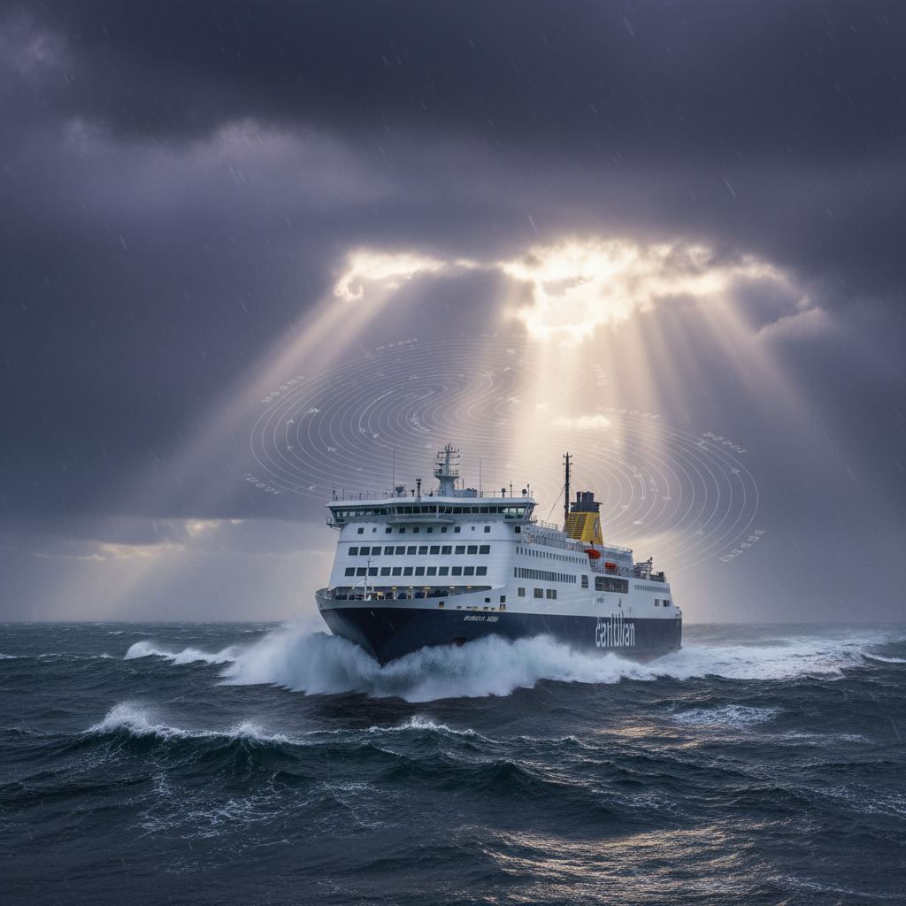
Tropical cyclones are reaching higher peak intensities and intensifying more rapidly. Mid-latitude windstorms are tracking further poleward in some basins and equator-ward in others. The "calm window" between hurricane seasons in the Caribbean has narrowed and become less reliable. Trade-wind regimes that once supported predictable Atlantic crossings show greater interannual variance. None of this makes seamanship obsolete - but it does mean the climatology underpinning many internal routing playbooks is no longer the safest baseline. A planner who quotes "the usual May routing for the Med-to-Brazil leg" is quoting a distribution that has shifted.
At the same time, schedule pressure has tightened. Container alliances run on tighter berth windows. Ferry operators are penalised for missed slots. Tanker charterers calculate demurrage to the hour. The buffer that used to absorb a precautionary diversion has been amortised away.
What Modern Weather Routing Actually Combines
A serious 2026 routing stack is not a single forecast model. It is a layered system that fuses three families of inputs.
- High-resolution numerical weather prediction (NWP). The ECMWF Integrated Forecasting System (IFS), NOAA's GFS and GEFS ensemble, the UK Met Office Unified Model, and regional high-resolution models (HARMONIE, WRF-ARW configurations, the NCEP HRRR over North American waters) provide deterministic and probabilistic atmospheric fields at horizons from a few hours to two weeks.
- Ocean-state and wave models. WAVEWATCH III, ECMWF's wave component, and regional swell models such as SWAN provide significant wave height, peak period, and directional spectra. Surface current fields from operational ocean-model systems (Mercator, HYCOM, Copernicus Marine) matter increasingly for fuel-burn calculations on long legs.
- Vessel-specific hydrodynamic response. Generic polar curves are not enough. A modern voyage optimization platform should ingest the vessel's actual resistance curves, propeller and engine maps, calibrated added-resistance-in-waves coefficients, and trim-and-draft sensitivity, then propagate the forecast through that response model to produce a fuel-and-time field for every candidate track.
Routing then becomes an optimisation problem over that fused field, not a decision on top of a single forecast chart.
What AI and Machine Learning Actually Add
Vendors have used "AI weather routing" loosely. It is worth being precise about where machine learning genuinely improves on traditional methods and where it does not.
- Statistical downscaling. Global NWP grids of 9-25 km struggle near complex coasts, in narrow straits, and around steep orography. Trained downscaling models can map global fields onto local grids with skill that physically based limited-area models charge much more compute to deliver.
- Ensemble interpretation. A 50-member ensemble is information-rich and decision-poor. ML methods compress ensemble spread into actionable probability of exceedance for the variables a master cares about - significant wave height above a threshold, beam-sea conditions over a duration, gust factors at a port approach.
- Multi-objective route optimisation. The classical isochrone method optimises for one cost. The real objective in 2026 is a constrained multi-objective surface: minimise fuel and CII attained, hit the ETA window, respect a hard significant-wave-height limit for the cargo, keep the crew within MLC 2006 rest-hour boundaries, and stay inside Emission Control Areas only when the bunker price differential justifies it. Modern solvers - many of them ML-augmented - search that surface in seconds.
- Hindcast validation and continual learning. Per-vessel performance models drift. ML pipelines that compare predicted versus observed fuel burn and speed loss every voyage, and re-fit the response curves, are the difference between a model that aged well and one that is quietly wrong by ten per cent.
What AI does not do is replace the master's authority. It expands the information she has when she signs the passage plan.
The Real Cost of a Storm Encounter
Operators sometimes underestimate the all-in cost of "taking it on the chin." The visible cost - extra fuel from higher engine revs and added wave resistance - is rarely the largest line. A more honest accounting includes:
- Fuel burn at higher revs and in adverse seas. Added resistance in waves can swing daily consumption materially on exposed legs.
- Hull, machinery, and cargo damage. Slamming, green water, lashing failures, and container stack collapses are low-frequency, high-severity events. Insurance will respond, but deductibles, off-hire days, and reputational damage with charterers do not.
- Missed port windows and demurrage. A blown ETA on a tight berth slot can cascade for days, with demurrage exposure measured in tens of thousands per day on larger vessels.
- CII and EU ETS penalty per voyage. A storm-driven fuel overshoot worsens the attained CII and increases EU Allowance liability under EU ETS for in-scope voyages. Across a fleet, the annual aggregate matters for the CII rating band - and a downgrade has chartering consequences.
- Crew rest-hour disruption. Heavy weather watches eat into MLC 2006 rest-hour compliance. Persistent non-conformities surface in port-state inspections and can ground a vessel.
- Insurance and class implications. Repeated heavy-weather damage claims influence H&M premiums and, in extreme cases, attract class society scrutiny on operational practice.
Quantified honestly, the cost of a single avoidable severe-weather encounter on a mid-size commercial vessel often dwarfs the annual licence cost of a serious routing platform. That is the business case voyage managers should bring to the CFO.
The point is not that storms can always be avoided. They cannot. The point is that the trade-off between encountering, evading, and waiting out a system has become a quantitative decision with explicit prices on every side, and the bridge deserves a tool that exposes those prices in real time rather than burying them under a single recommended track.
Just-In-Time Arrival: Where Weather Routing Meets the Quay
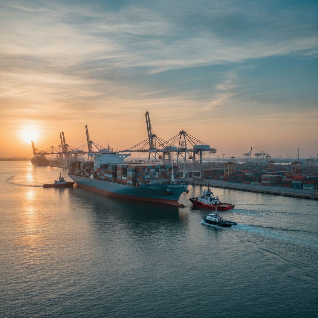
The IMO's Just-In-Time (JIT) Arrival initiative, formalised in 2020 and increasingly operationalised by major port communities, is the operational counterpart of CII. The premise is simple: arriving twelve hours early to anchor outside a port, burning fuel to hold position, then waiting for a berth, is one of the most carbon-inefficient things a commercial ship does.
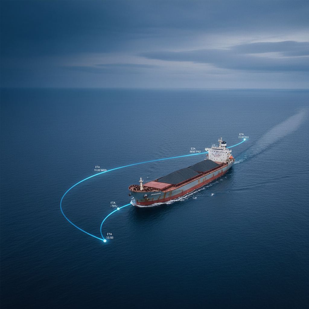
Weather routing and JIT arrival are the same problem, viewed from two ends. The port community publishes a Requested Time of Arrival (RTA) at the pilot station. The vessel's voyage optimiser must then deliver the ship to that RTA at the lowest fuel-and-CII cost, given the forecast field, the vessel's response model, and the hard constraints of safety. When the RTA slips because the previous berthing ran long, the optimiser must re-plan in minutes, not hours, and the bridge must receive a clear, auditable recommendation - not a wall of charts.
Operators that integrate weather routing with port-call optimisation platforms - whether through the emerging port-call message standards or bilateral APIs - capture the largest emissions and fuel savings. Those that treat them as separate workflows leave money and CII margin on the table.
The Data Feeds That Matter
Routing quality is downstream of data quality. The feeds that distinguish a credible platform are unspectacular individually and decisive in combination.
- AIS, both terrestrial and satellite. For traffic separation, for hindcast model validation against real fleet behaviour, and for benchmarking the vessel's own performance against sister-class peers.
- Satellite altimetry, scatterometry, and SAR. Independent observations of wave height, surface wind, and sea-state outside of NWP, used as a sanity check on forecasts in remote ocean basins.
- On-board meteorological and motion sensors. Anemometers, barometers, motion reference units, and rudder-and-shaft torque sensors are the ground truth that calibrates the per-vessel response model.
- Hindcast archives. Reanalysis products such as ERA5 are essential for validating any new vessel performance model against years of operating history before it is trusted in real time.
- Standardised ship-to-shore data exchange. ISO 19848 and the broader Smart Maritime Data Architecture stack are starting to make it realistic to move noon reports, sensor streams, and routing decisions in machine-readable form between vessel, owner, charterer, and regulator.
What Good Weather Routing Software Must Do: An Operator Checklist
For voyage managers and fleet operations directors evaluating systems in 2026, the questions worth asking go well beyond "do you use AI?" A credible platform should:
- Ingest ECMWF, GFS, and at least one regional high-resolution model, plus a wave model and a current model, and let the operator see which feed drove a recommendation.
- Run probabilistic, not just deterministic, optimisation - exposing exceedance probabilities for wave height, wind, and ETA, not just a single track.
- Use a per-vessel hydrodynamic response model that is continually re-calibrated against on-board sensor data, with version history visible to the operator.
- Optimise against the full multi-objective surface: fuel, CII attained, EU ETS exposure, ETA window, hard safety limits, MLC 2006 rest-hour windows, and ECA boundaries.
- Integrate with ECDIS as a route overlay rather than a parallel system the bridge has to reconcile manually.
- Support JIT arrival workflows with re-optimisation in minutes when the RTA changes.
- Produce auditable decision records - which forecast, which constraints, which alternative tracks were considered, and why the chosen track was selected - sufficient for charter-party disputes, insurance claims, and CII verification.
- Expose its data through documented APIs, not screen-scraped reports.
Anything less is a chart viewer with a forecast plug-in.
The Operational Posture Worth Adopting
Climate volatility will not reverse on the timescale relevant to any vessel currently in the orderbook. CII tightens annually. FuelEU's GHG-intensity reduction trajectory steepens through 2030 and beyond. The operators who will compete on charter rates in 2030 are the ones who are, today, treating weather routing as a finance-grade discipline: model-driven, continually validated, integrated with port-call planning, and embedded in the chartering and bunkering conversation rather than left at the bridge.
Weather still wins arguments with ships. What has changed is that the cost of a bad argument is now itemised on three separate balance sheets - fuel, regulation, and reputation - and the tools to avoid it have moved decisively beyond the master's experience alone.
SupaMaritime works with commercial operators across ferry, merchant, and port-agency segments who are turning voyage data into measurable margin. Explore the operator-facing modules at /ferry and /merchant, or see the full suite at /modules.